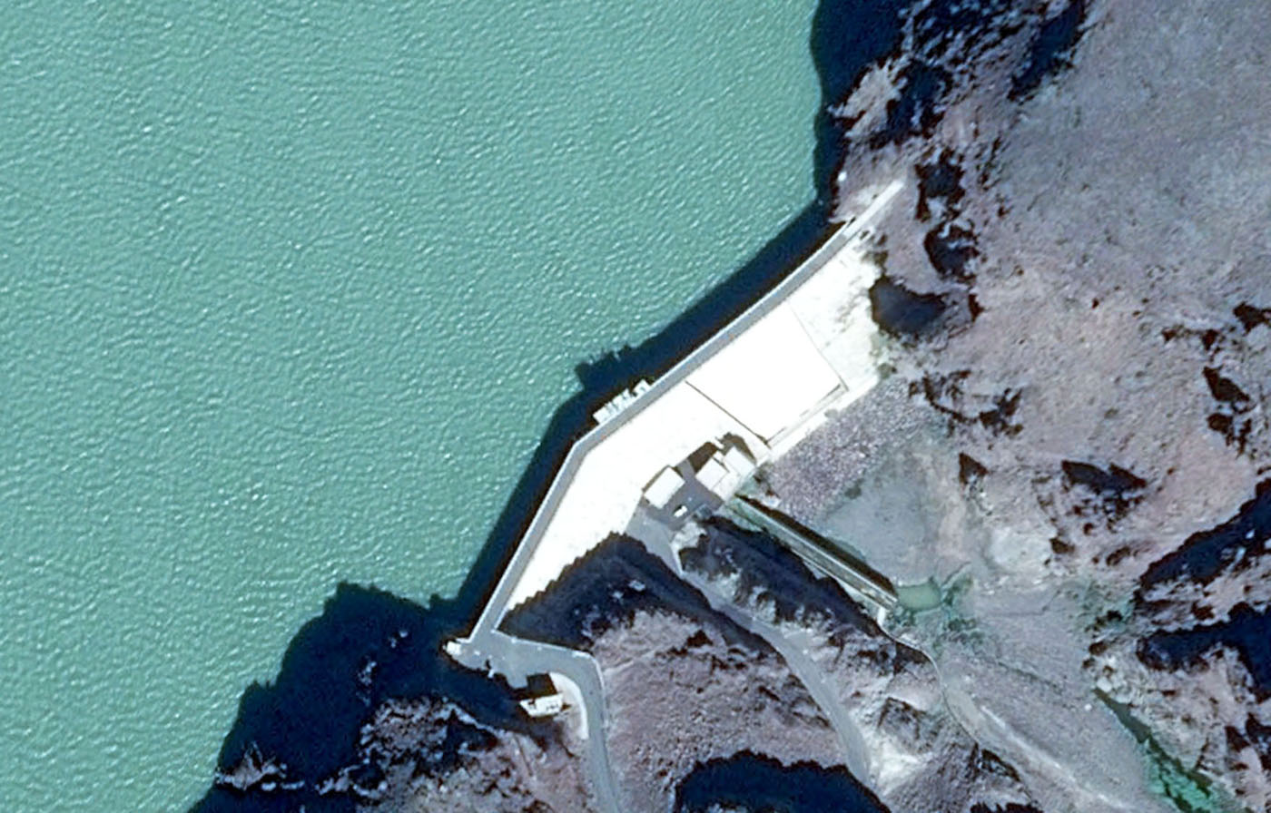
Sultan Moulay Ali Cherif (formely Tiouine)
Download PDF data sheet on Google Earth")
Sultan Moulay Ali Cherif (formely Tiouine) on Google Earth
Statistics
Type: Gravity
Purpose(s): Flood Control / Irrigation / Water Supply
Reservoir capacity: 270 m3x106
Height: 90 metres
Length: 202 metres
Volume of RCC: 270 m3x103
Total volume: 380 m3x103
Construction Dates
Start of Project: 05/10 (May 2010)
Start of RCC: —/11 (— 2011)
End of RCC: —/13 (— 2013)
End of Project: —/13 (— 2013)
Country: Morocco
River: Iriri
DMS Co-ordinates: 30˚56'6.51"N, 7˚14'42.47"W
DD Co-ordinates: 30.935143, -7.245131
Facings
Upstream
| Slope | Type |
|---|---|
| Vertical | Traditional concrete against formwork |
Downstream
| Slope | Type |
|---|---|
| 0.80 | Traditional concrete against formwork [stepped face] |
Spillway
| Slope | Type |
|---|---|
| 0.80 | Traditional concrete against formwork [stepped face] |
Placement
| Layers (mm) | Lifts (mm) |
|---|---|
Cementitious material
| Cement (kg/m3) |
|---|
| 100 |
| Pozzolan (kg/m3) | Pozzolan Type |
|---|---|
| 0 | No pozzolan used |