Alto Irani
Download PDF data sheet
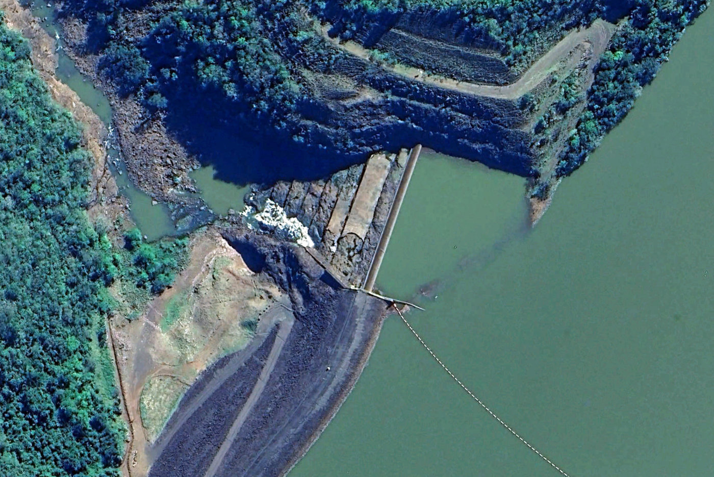
Alto Irani on Google Earth
Statistics
Type: Hardfill
Purpose(s): Hydropower
Reservoir capacity: 5 m3x106
Height: 45 metres
Length: 243 metres
Volume of RCC: 14 m3x103
Total volume: 20 m3x103
Construction Dates
Start of Project: —/07 (— 2007)
Start of RCC: —/07 (— 2007)
End of RCC: —/08 (— 2008)
End of Project: —/08 (— 2008)
Country: Brazil
River: Irani
DMS Co-ordinates: 27˚00'42.48"S, 52˚25'38.75"W
DD Co-ordinates: -27.011801, -52.427429
Facings
Upstream
| Slope | Type |
|---|---|
| 2.50 |
Downstream
| Slope | Type |
|---|---|
| 2 |
Spillway
| Slope | Type |
|---|---|
| 2 |
Placement
| Layers (mm) | Lifts (mm) |
|---|---|
Cementitious material
| Cement (kg/m3) |
|---|
| Pozzolan (kg/m3) | Pozzolan Type |
|---|---|