Hayghar (formerly Dehroud)
Download PDF data sheet on Google Earth")
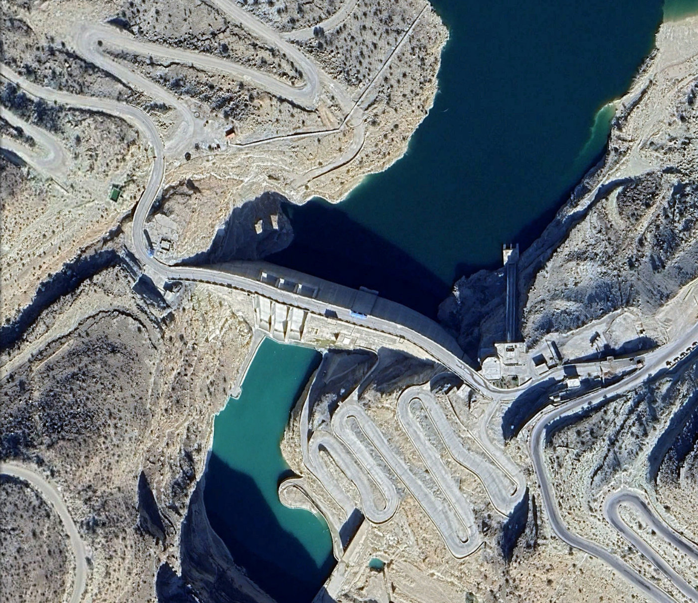
Hayghar (formerly Dehroud) on Google Earth
Particulars
Owner: Fars Water Authority
Designer: Ab-niroo Consulting Engineers
Contractor: Khatam-ol-Anbia Construction Co.
Statistics
Type: Hardfill
Purpose(s): Flood Control / Hydropower / Irrigation / Water Supply
Reservoir capacity: 146 m3x106
Height: 88 metres
Length: 230 metres
Volume of RCC: 260 m3x103
Total volume: 285 m3x103
Construction Dates
Start of Project: —/09 (— 2009)
Start of RCC: —/12 (— 2012)
End of RCC: —/24 (— 2024)
End of Project: —/26 (— 2026)
Country: Iran
River: Firooz Abad
DMS Co-ordinates: 28˚39'31.82"N, 52˚41'53.43"E
DD Co-ordinates: 28.658838, 52.698174
Facings
Upstream
| Slope | Type |
|---|---|
| 0.90 | RCC against formwork (GEVR/GE-RCC) |
Downstream
| Slope | Type |
|---|---|
| 1.20 | RCC against formwork (GEVR/GE-RCC) [stepped face] |
Spillway
| Slope | Type |
|---|---|
| 1.20 | Reinforced conventional concrete cast after RCC placement |
Placement
| Layers (mm) | Lifts (mm) |
|---|---|
| 300 | 300 |
Cementitious material
| Cement (kg/m3) |
|---|
| Pozzolan (kg/m3) | Pozzolan Type |
|---|---|